2022.1.14
【Activities】Award Ceremony of the 5th Ishinomaki City Reconstruction and Disaster Risk Reduction Map Contest
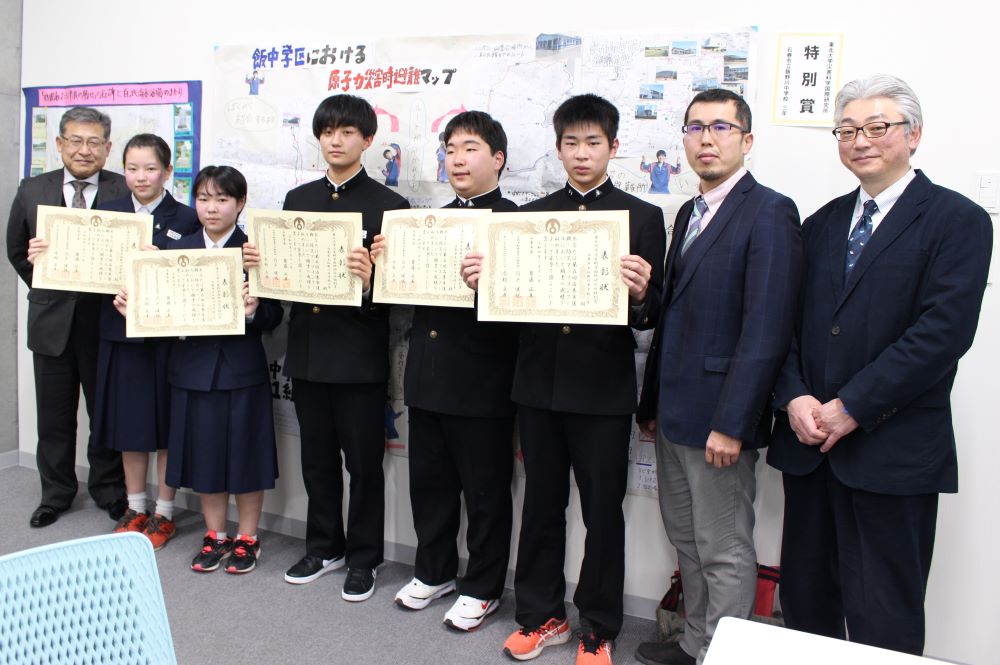
In the afternoon of January 12, 2022, the award ceremony for the 5th Ishinomaki City Reconstruction and Disaster Risk Reduction Map Contest was held at Ishinomaki City Disaster Risk Reduction Center, Miyagi. Participating in the ceremony was Professor Takeshi Sato of IRIDeS, who chairs the Ishinomaki School Disaster Risk Reduction Promotion Committee. This year, the contest had a total of 97 entries from elementary and junior high schools in Ishinomaki City. At the award ceremony, the Ishinomaki Mayor’s Award and other prizes were given to the outstanding works. Dr. Sato awarded the “Tohoku University IRIDeS Special Prize” to two groups: students from the sixth grade of Oyachi Elementary School, and third year pupils from Iinogawa Junior High School.
Elementary and junior high school students in Ishinomaki City started to explore local areas to learn about their reconstruction and disaster risk reduction one year after the 2011 Great East Japan Earthquake, with the cooperation of the Ishinomaki City Board of Education, and they have been working on the maps since then. This activity is based on The Practical Guide to a “Reconstruction and Disaster Risk Reduction (R-DRR) Mapping”, which is produced by the International Collaborating Center of Disaster Education Research and Implementation, IRIDeS1). The guide describes a method for creating a handmade map by knowing the history and attractive places of a local community as well as reconstruction and disaster risk through information of topographical maps, hazard maps, and interviews with families and local people. Each school has selected its own community-based topic and has been engaged in mapmaking referring to the guide
In the current Map Contest, the work of Kitakami Elementary School showed the history of tsunamis and the evacuation sites with topographical maps, which was easy to understand, and thus was highly evaluated for the Ishinomaki Mayor’s Award. The other prize-winning works were also excellent and focused on tsunamis, floods, nuclear disasters, and landslides. The critique noted the increasing quality of the maps year by year.
However, as Sato says, “The mapmaking activity is not the end goal, but just a means to bridge children with local people, contributing to reconstruction and sustainable community development.” Sato and other members of the International Collaborating Center of Disaster Education Research and Implementation of IRIDeS sometimes provide advice to schools and students as needed, but the role of the experts is only subsidiary. The mapmaking activity of each school occurs autonomously.
1)The Practical Guide to a “Reconstruction and Disaster Risk Reduction (R-DRR) Mapping”: Understanding the natural environment and the lives of those in your hometown